Download
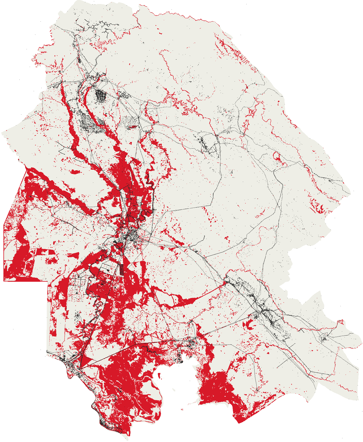
Infrastructure of Khuzestan measured against the 2019 flood
Every settlement, building, works, well, power line, canal, school and clinic OpenStreetMap maps in the province, with how close the flood came to each.
Format: GeoPackage
Coverage: Khuzestan province, Iran. Two snapshots, 1 January 2019 and 17 August 2026, measured against the hybrid map of 15 March to 7 June 2019.
Licence: ODbL-1.0
Files
- elements_2019.gpkg 33.4 MB
- elements_2026.gpkg 46.2 MB
Columns
osm- the OpenStreetMap identifier, carrying the element type
row- the class the page counts the element under
group- the heading that class sits under on the page
measure- whether the class is published as a count or a length
county- the county holding the element's point on surface
area_osm- the identifier of the smallest mapped area containing it
area_row- the class of that containing area
absorbed_by- the identifier of the element this one is counted as part of
total_pixels- grid cells whose centre the geometry contains
flood_pixels_extent- grid cells of the element that the hybrid map calls flood
share_extent- the share of the element's own cells that the hybrid map calls flood
distance_extent, m- metres from the element to the nearest cell the hybrid map calls flood
km_inside_extent, km- length of the line inside the hybrid map
osm_url- a link to the element on openstreetmap.org
geom- the element's own geometry as OpenStreetMap maps it
Attribution
- Boundaries from geoBoundaries, William and Mary geoLab, Open Database Licence 1.0
- © OpenStreetMap contributors, Open Database Licence 1.0, openstreetmap.org/copyright
- Contains modified Copernicus Emergency Management Service information, Global Flood Monitoring (2019)
- Contains modified Copernicus information, EC JRC Global Surface Water (Pekel et al., 2016)
- Contains modified Copernicus Sentinel data 2019
Derived from
- geoBoundaries Iran, ADM1 and ADM2, geoBoundaries, William and Mary geoLab, version 9469f09, ODbL-1.0
- OpenStreetMap extract for Iran, dated 2019-01-01, Geofabrik GmbH, version 2019-01-01, ODbL-1.0
- Copernicus Global Flood Monitoring over Khuzestan, 15 March to 14 June 2019, Copernicus Emergency Management Service, processed and hosted by EODC, version 2026-09-13, Copernicus free, full and open (Regulation (EU) No 1159/2013)
- JRC Global Surface Water, monthly history, European Commission Joint Research Centre, version ver5-0, CC-BY-4.0
- JRC Global Surface Water, seasonality, European Commission Joint Research Centre, version v1-4-2021, Copernicus free, full and open (Regulation (EU) No 1159/2013)
- Landsat 8 Collection 2 Level-2 over Khuzestan, four dates of 2019, United States Geological Survey, hosted by Microsoft Planetary Computer, version 2026-09-15, public domain, United States Geological Survey
- OpenStreetMap planet snapshot, OpenStreetMap contributors, version 2026-08-17, ODbL-1.0
- Sentinel-2 Collection 1 Level-2A over Khuzestan, eleven dates of 2019, European Space Agency, Collection 1 reprocessing, hosted by Element 84, version 2026-09-15, Copernicus free, full and open (Regulation (EU) No 1159/2013)